Real estate and construction, as a hobby
Outside websites, I spend a lot of time on Bengaluru land, layouts and buildings: reading master plans, walking sites, and following how roads and zoning change at the edge of the city. This is where I share what I learn.
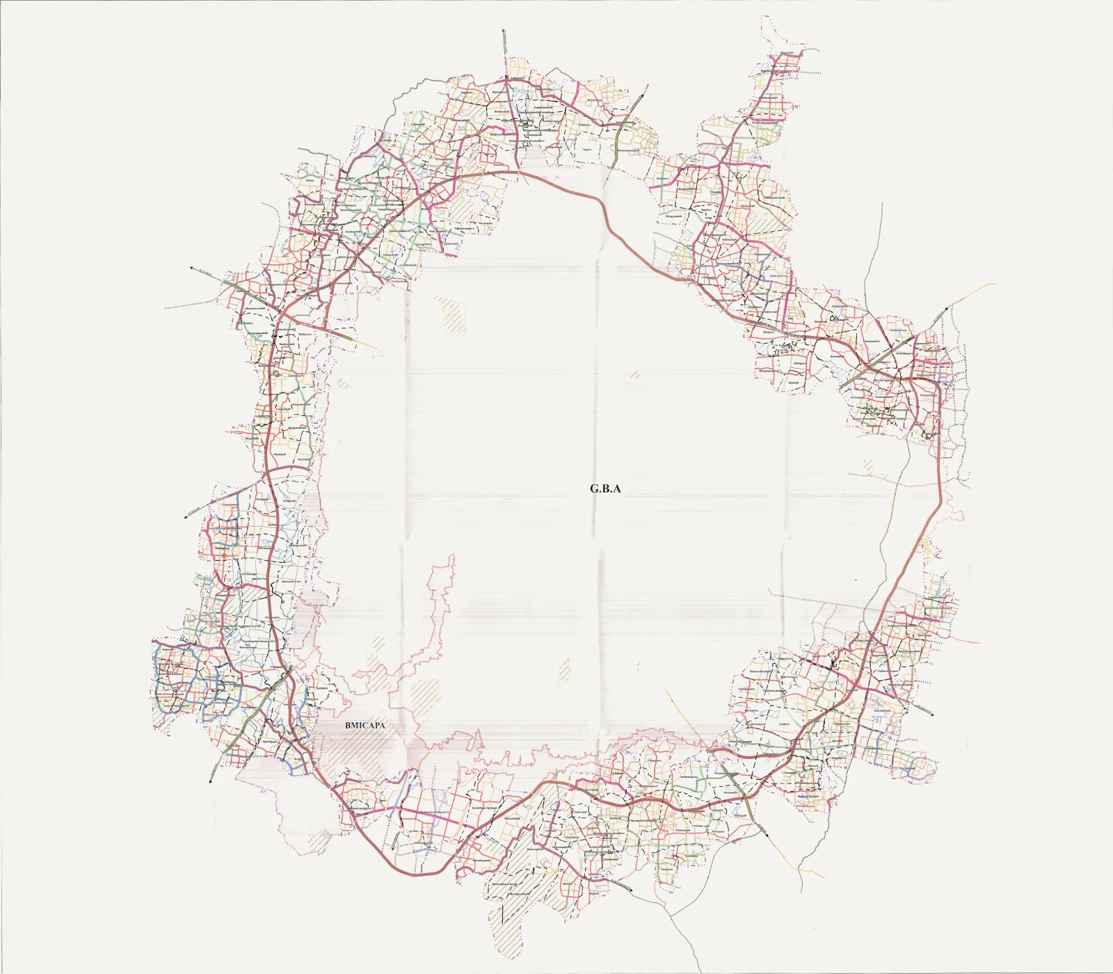
New map
BDA's 2041 draft road grid, on Google Maps
BDA published 67 scanned sheets of proposed roads for the villages outside GBA, with no coordinates. I fitted them onto a map, with a village finder and how to comment before about 8 December 2026.
Open the mapWhat I look at before buying land on the city edge
My own checklist, not legal advice. For any purchase, use a property lawyer.
- 1
Title and encumbrance
The chain of sale deeds, and an Encumbrance Certificate from Kaveri Online for a long period, to see loans, sales and claims.
- 2
Land records
The RTC (pahani) and mutation records on Bhoomi: whose name, what extent, and what the land is recorded as.
- 3
Conversion
Agricultural land needs a conversion order for non-agricultural use before anyone can build on it.
- 4
Layout and building approvals
An approved layout plan from the right planning authority, and a sanctioned building plan for what is built.
- 5
Khata
The khata status with the local body, since it decides tax, approvals and loans.
- 6
RERA
Apartment and plotted projects that must register should appear on the Karnataka RERA website.
- 7
Zoning and roads
What the master plan zones the land as, road widening lines, and now the proposed roads in the 2041 draft grid.
- 8
Lakes and drains
Distance from lakes and storm-water drains, because buffer zones limit building near them.
Construction notes
Notes and photos from sites I follow are on the way: foundations, materials, and what actually changes between the plan and the building.